Understand how your community moves.

Understand how your community moves.

Understand how your community moves.

We transform your existing data into complete travel behavior insights - every mode, every trip, every traveler.

We transform your existing data into complete travel behavior insights - every mode, every trip, every traveler.

We transform your existing data into complete travel behavior insights - every mode, every trip, every traveler.

Proudly built in collaboration with partners across government, industry, and research.
Travel insights you can trust.

A holistic and accurate picture of multimodal travel in your community that learns and improves with every data point you collect.

A holistic and accurate picture of multimodal travel in your community that learns and improves with every data point you collect.

Powerful analysis. Simplified.

Intuitive tools allow you to go from exploring the data to asking your toughest questions and sharing digestible, interactive evidence in minutes.

Intuitive tools allow you to go from exploring the data to asking your toughest questions and sharing digestible, interactive evidence in minutes.

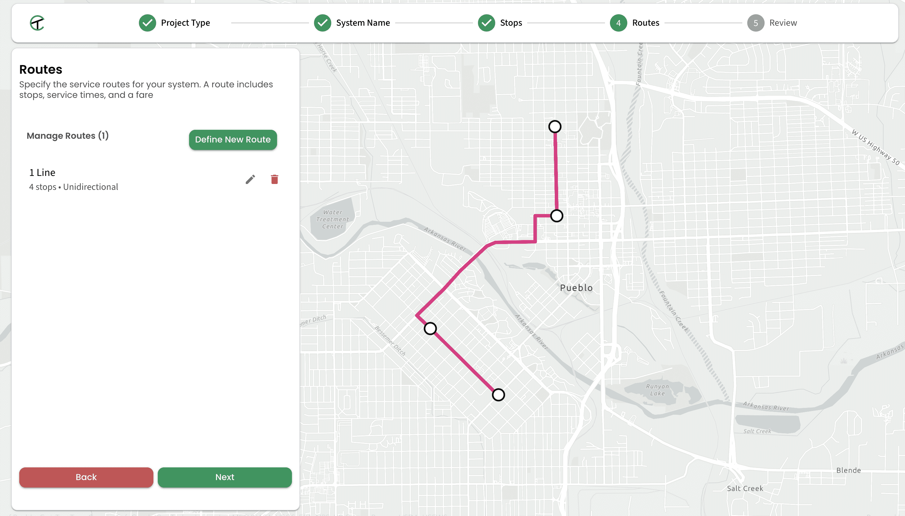
Easily model "what if" scenarios.

Rapidly simulate and quantify the impact of transportation and land use proposals.

Rapidly simulate and quantify the impact of transportation and land use proposals.

TRULY COMPREHENSIVE TRIP DATA

TRULY COMPREHENSIVE TRIP DATA

Plan with confidence

Plan with confidence

We understand how important it is for data to accurately represent your whole community . By combining national multimodal travel data with the ability to frictionlessly incorporate your own, ground-level observations, Pathway Zero provides you with the most accurate picture possible of multimodal travel behavior that improves and evolves alongside you.

We understand how important it is for data to accurately represent your whole community . By combining national multimodal travel data with the ability to frictionlessly incorporate your own, ground-level observations, Pathway Zero provides you with the most accurate picture possible of multimodal travel behavior that improves and evolves alongside you.

Sensors & counters

Sensors & counters

Regional travel models

Regional travel models

Traveler & rider surveys

Traveler & rider surveys

Ridership reports

Ridership reports

ANALYSIS TOOLS

Explore, analyze, share
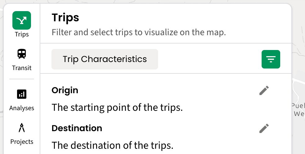
Our platform was designed in partnership with planners to make it easier than ever to understand, analyze, and explain every dimension of mobility. Whether you're pinpointing first/last mile gaps for seniors, evaluating the VMT and congestion impact of residential development, or performing a corridor analysis, you can get answers and iterate quickly.

Our platform was designed in partnership with planners to make it easier than ever to understand, analyze, and explain every dimension of mobility. Whether you're pinpointing first/last mile gaps for seniors, evaluating the VMT and congestion impact of residential development, or performing a corridor analysis, you can get answers and iterate quickly.

Pinpoint Gaps

Understand the ground-level traveler, trip, and environmental conditions that are determining peoples' choices and access.

Dig deep

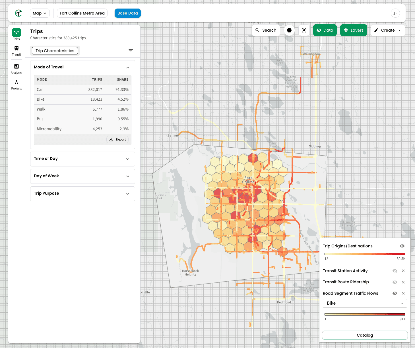
Get quick answers to your toughest questions with trip and traveler querying tools that are as simple as they are extensive.

Export and share

Transform data into digestible narratives and share with stakeholders in just a few clicks.

Complete context

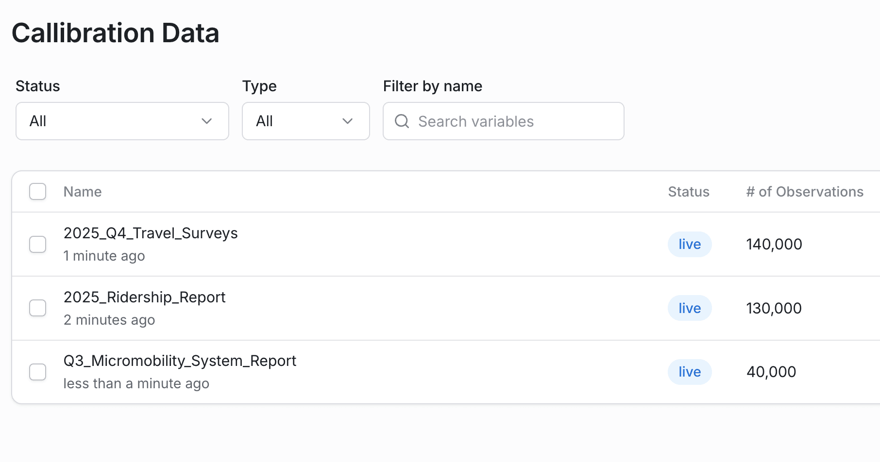
Get the full spectrum of existing conditions data for your community, with dozens of high resolution data sources spanning everything from health indicators to stop-level ridership.

SCENARIO MODELING

SCENARIO MODELING

Rapid, self-service scenario modeling you can trust

Rapid, self-service scenario modeling you can trust

Effortlessly define, configure, and combine changes.

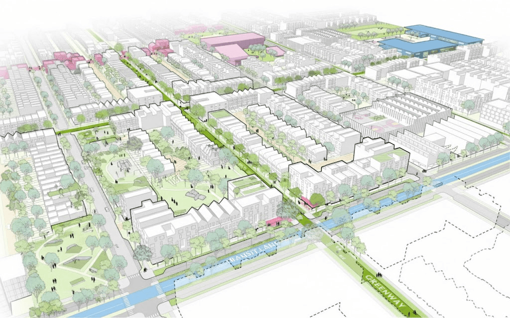
Draw, configure, and go - it's that simple. Combine and compare anything from transit projects to new land use development.

Simulate your community as travelers will experience it.
Simulate your community as travelers experience it.

We reproduce the holistic ground-level conditions of every traveler and trip so you can effectively anticipate how real people will respond to changes and how your projects move the needle on access, mode shift, emissions, and more.

Traveler Characteristics
Income, vehicle ownership, demographics, household
Trip Motivation & Habits
Trip purpose, origin, destination
Trip Characteristics
Time, duration, length, transfers, wait time, walk time, delay
Infrastructure & Services
Transit, micromobility, sidewalks, speeds, crossings
Land Use & Built Environment
Retail, comfort, bike lanes, lighting, parking
Natural Environment & Weather
Temperature, precipitation, shade, greenery
The same rigor; none of the barriers.

Our platform extends upon the rigorous models developed by states and MPOs to make accurate, high-resolution results accessible to everyone in a fraction of the time.

Cost-effective, self-service modeling without compromise.

Powerful, researcher-reviewed modeling capabilities that make data-driven decision making accessible to any project or community.

Ready to get started?